Development Direction by Area - Area 4

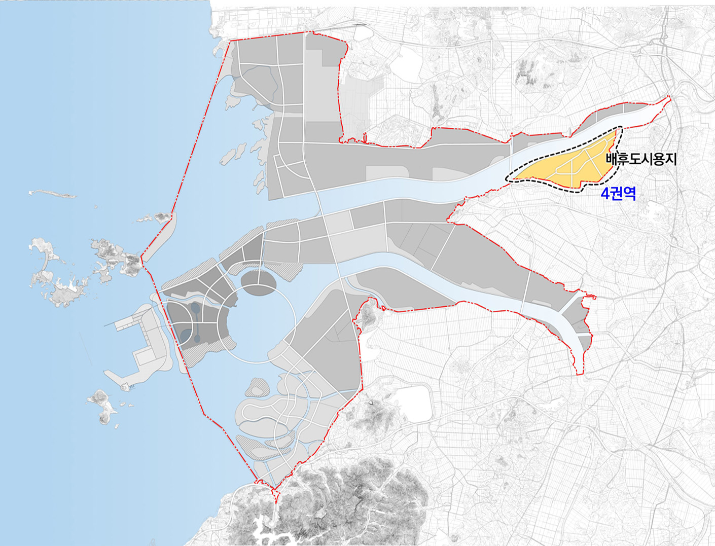
Area 4
10.0㎢
- Developing agriculture and tourism converged with manufacturing and tourism in association with agro-bio sites and waterfront areas
Basic directions
Self-sufficient complex city with population of 40,000 combined with 6th industry on agro-bio industry, supporting and residential functions
Key planning indicators for area 4
| Category | Unit(㎢) | Planned indicators | Remarks | |
|---|---|---|---|---|
| Planned area | ㎢ | 10.0 | ||
| Population and number of households |
Planned population | No. of people | 40,000 | |
| Planned No. of households | households | 19,000 | 2.1 person / household | |
| Schools | Elementary school | Facility | 4 | 1 school / neighborhood |
| Middle and high school | Facility | 4 | 1 to 2 schools / residential area | |
| Urban infrastructure | Neighborhood public facilities | 2 | One facility / residential area, including community center and fire substation |
|
| Park and Greenery | % | 20 | ||
| Public utility services | Water supply | % | 100.0 | |
| Sewage treatment | Facility | 1 | 1 / area | |
| Heating system | 개소 | 1 | 1 / area | |
| Gas supply | 개소 | 1 | 1 / area | |
*A planning indicator is to set up the direction of development and the specific installation of facilities which can be adapted within the plan for the installation of large-scale infrastructure, etc. based on the project.
**Set standards of relevant laws appropriate to each development project
-
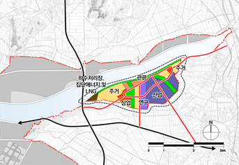
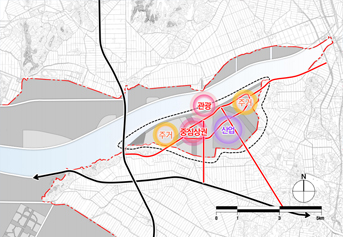
Land use planning in area 4 -
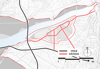
Transportation system in Area 4 -
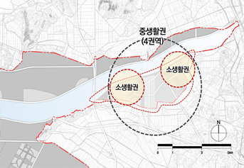
Living area in area 4