Development Direction by Area - Area 3

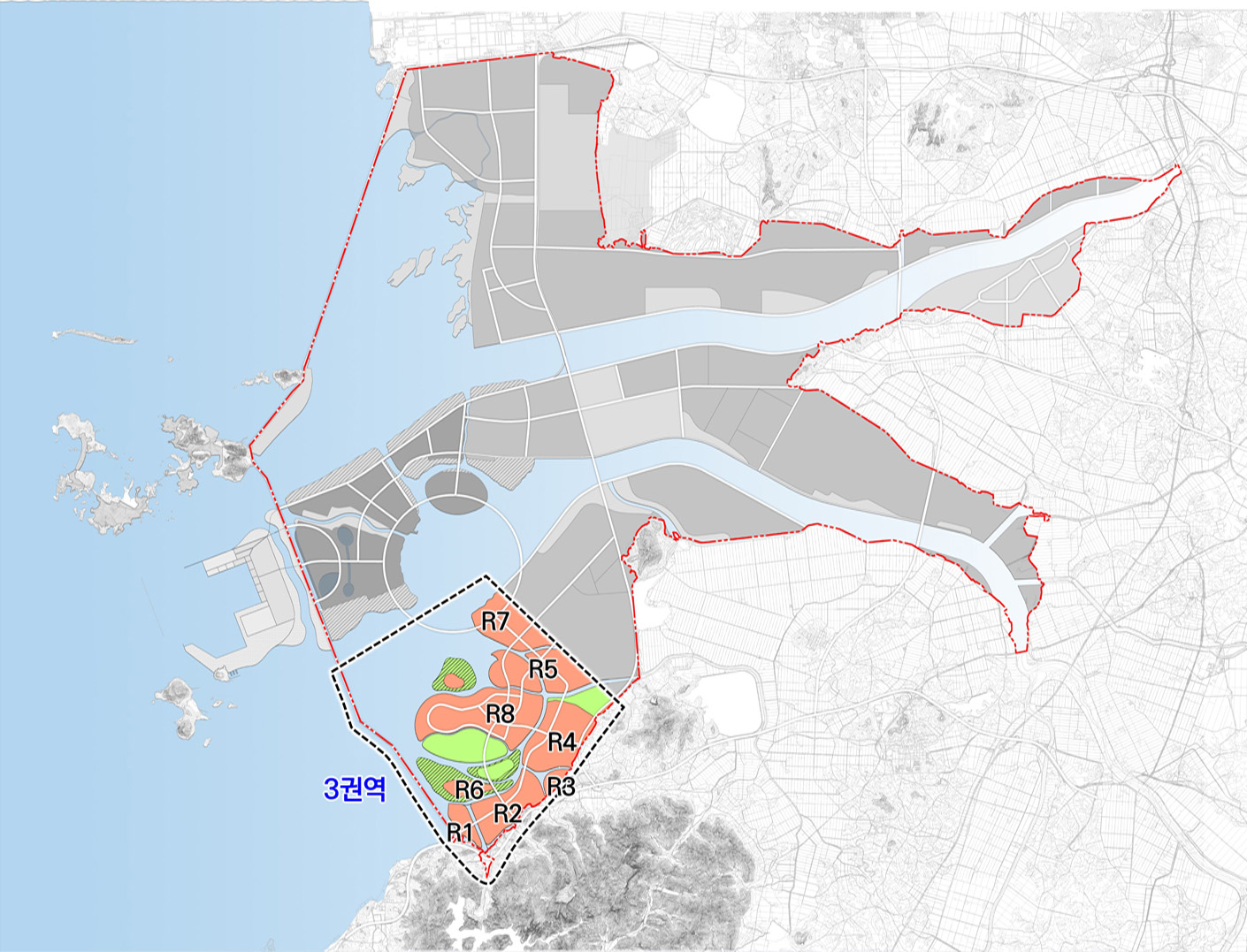
Area 3
31.6㎢
- Northern area of Byeonsanbando National Park
- Tourism Convergence – waterfront tourism / leisure, combined tourism and new industry based on new technology
Functions
- Aquatic leisure complex and a stay-type tourist complex in consideration of demand from private investors and promotion of business
- Aquatic leisure clustered with tourism, shopping, and cultural facilities around the Circular Bridge, considering its commercial functions
Planned indicators for area 3
| Category | Unit(㎢) | Planned indicators | Remarks | |
|---|---|---|---|---|
| Planned area | ㎢ | 31.6 | 7.2 ㎢ of Eco-Area | |
| Population and No. of households | Planned population | Persons | 55,300 | |
| Planned No. of households | households | 26,300 | 2.1 people / household | |
| Schools | Elementary school | Open school | 6 | 1/ area |
| Middle and high school | Open school | 5 | 1 school / residential area | |
| Urban infrastructure | Public facilities | Facility | 3 | 1 facility / residential area |
| Park and Greenery | % | 17 | business site | |
| Public utility services | Water supply | % | 100.0 | |
| Sewage treatment | Facility | 2 | sewage treatment | |
| Waste treatment | Facility | 1 | MBT+SRF, Landfill | |
| Heating system | Facility | 1 | 1 / area | |
| Gas supply | Facility | 1 | 1 / area | |
*A planning indicator is to set up the direction of development and the specific installation of facilities which can be adapted within the plan for the installation of large-scale infrastructure, etc. based on the project.
**Set standards of relevant laws appropriate to each development project
-
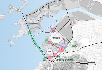
Land use planning in area 3 -
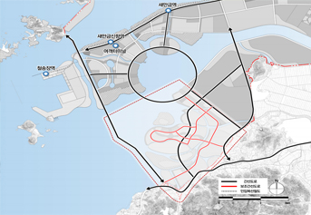
Transportation system in Area 3 -
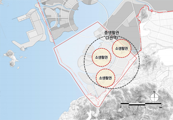
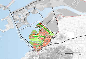
Living area in area 3 -
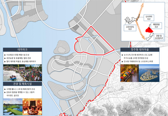
Tourism complex with a stay-type development direction